Facebook
Twitter
LinkedIn
Email
WhatsApp

Location

Availabilty

Condition

SATELLITE IMAGE DATA ANALYSIS

[sl]

Visited 1.8k

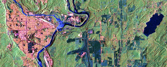
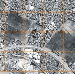
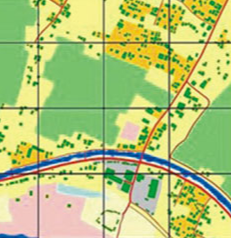
Data analysis services from satellite imagery for various needs. Reconstruct maps based on satellite image data for analysis of surface features, stock piles, land use, geology and development.

Indonesian Supplies Terms and Conditions:

Description

WHAT IS THE USE OF SATELLITE IMAGERY

Satellite imagery can be use to extract features like vegetation, water bodies, outcrops mineral and produce thematic maps.

Satellite Images can be used for temporal monitoring of landscape changes and environmental damage without visiting the location.

WE CAN PROCESS AND PRODUCE MAPS FROM
  • RadarSat
  • ORBIMAGE
  • IRS
  • IKONOS
  • QUICKBIRD
  • OBVIEW-3
  • ASTER
  • ALOS
  • Landsat

Additional information

Product Type

Reviews

There are no reviews yet.

Be the first to review “SATELLITE IMAGE DATA ANALYSIS”
No more offers for this product!

General Inquiries

There are no inquiries yet.

Share Product Details

Share Company Details