
Description
The services include the following services:
- Tidal and current studies;
- Coastal construction surveys;
- Mineral exploration services;
- Estuaries, rivers and reservoirs;
- Marine environmental investigations;
- Water quality and sediment movement studies;
- Shallow water navigation and charting surveys;
- Harbor development,
- Construction and dredging surveys;
- Coastal tourist development projects;
- Beach profiling, surf zone surveys
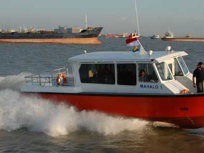
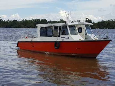
Our bathymetry services include near-shore area. The “Near-shore Area” is commonly known as a strip along the shore between the high water line seawards up to water depths of 20-50m. This area is typically very shallow water, wave area and shoals’ existences that are danger to navigation, and can only be surveyed using shallow draft boat.
Perhaps one of the most difficult undertakings performed within the survey industry is the completion of surveys associated with close inshore shallow waters especially surf zone surveys. These tasks require specialized equipment and rely heavily on complex logistics and related planning to ensure efficient and cost effective results. Our staffs have gained many years working experience in this type of work and have on staff experienced beach profile experts.


Reviews
There are no reviews yet.